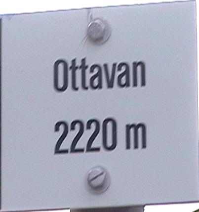
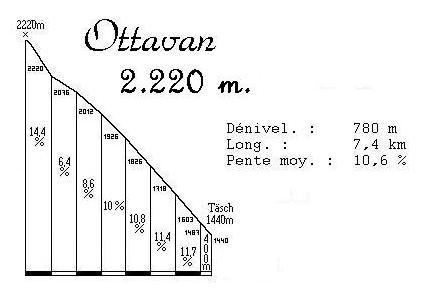
The climb to Ottavan (2220m)

 |
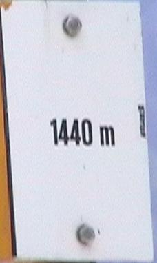
Täsch (1440m) | Ottavan (2220m) | 7,4 km |
780m | 10,5 % |
| 1999 | 1h 15mn |
5,9 km/h |
| 2000 | 54mn (1) |
8,2 km/h |
| 2001 | 47mn 20s (3) |
9,4 km/h |
| 2002 | 45mn 30s (2) |
9,8 km/h |
| 2003 | 43mn 31s (3) |
10,2 km/h |
| 2004 | 45mn 04s (2) |
9,9 km/h |
| 2005 | 43mn 32s (4) |
10,2 km/h |
(2) Best time out of the 3 climbs made.
(3) Best time out of the 4 climbs made.
(4) Best time out of the 5 climbs made.
 |
 |
 |
| Start: Täsch (1440m). |
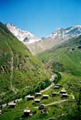
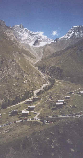
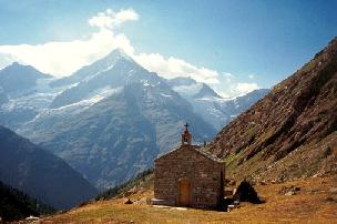
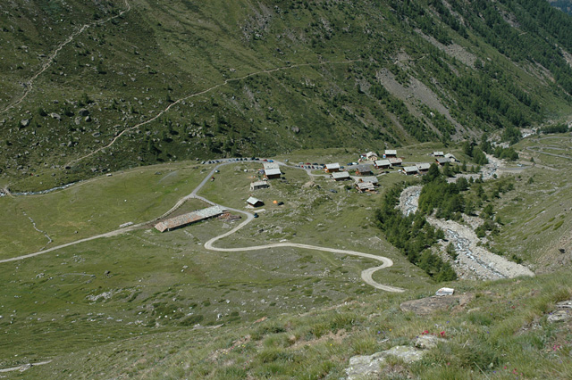
| Road: | The road is not very wide, and crossing a car is very difficult. Fortunateley, there is nearly no traffic on that road. We start with the "easiest" part of the climb (the slope is around 10% though). After the first hairpin, the slope becomes horrible (for example near the little chapel), until the half of the climb where the road is flat for 100m (with a wooden bridge). After that, the slope is very hard, except during 500m, where it is a good idea to try recovering some force for the final. At that time, we leave the forest, and we can see the village of Ottavan. There, the road doesn't seem very stiff, but the elevation gain in the last kilometer is more than 150m (15% slope). As for Col de Granon, a perfect physical condition is required if you don't want to die after the first turn. |
| Map: |
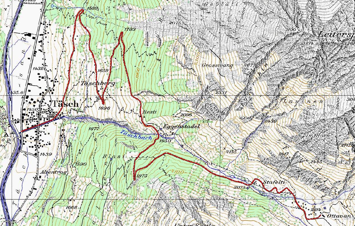
|
[New] Interactive map |
 |
 |
| Profile (home-made): |
|
Specific link: