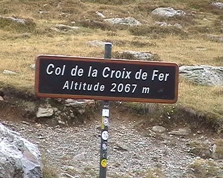
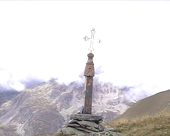
Croix de Fer Pass (2064m)

 |
Northern side
 |
Saint-Jean-de-Maurienne (590m) | Col de la Croix de Fer (2064m) | 28,8 km |
1474m | 5,1 % |
| 2002 | 1h 58mn |
14,6 km/h |
Northern side (via Col du Mollard)
|
Saint-Jean-de-Maurienne (590m) | Col du Mollard (1638m) | 16,6 km |
1048m | 6,3 % |
| Col de la Croix de Fer (2064m) | 36,6 km |
1474m | 4 % |
||
| 2005 | 1h 10mn |
14,2 km/h |
2h 22mn 30s(1) |
15,4 km/h |
 |
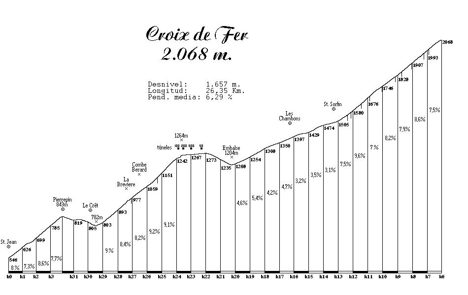
| Start (Northern side): Saint-Jean-de-Maurienne (590m). |
| Road: | The climb is divided in three different parts
between which the road is descending. The 1st part is quite short and the climb
is pleasant. After a short descent, the 2nd part is very harder: the slope increases
and exceeds 10% at some places. When approaching the 4 tunnels, the slope becomes easier
and after them, it's descending for the 2nd time. The 3rd and last part begins with
a soft slope, but it suddenly strengthen during a terrifying kilometer (just getting out of St-Sorlin d'Arves).
After that, the road finishes with some hairpins.
This climb is much harder than it seems when you look at the profile and the average slope (5,1 %).
It is because of its length (nearly 30km) and because of several brutal change of slope along
the road, leading to very difficult pieces.
|
| Profile: |
|
| Start (Northern side, via Col du Mollard): Saint-Jean-de-Maurienne (590m). |
| Road: | we start with a slight descent, and then the road climbs quite softly, in a straight way. After some kilometers, the slope becomes harder and the back-loop turns appear. The road is protected from the sun by a dense forest. When getting out of the trees, the village of Albiez-le-Vieux is not so far. The top is about one kilometer further. In a nice descent (6km), the road joins the northern climb to the Croix de Fer, a few kilometers before Saint-Jean d'Arves. |
| Profile: Click here |
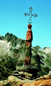
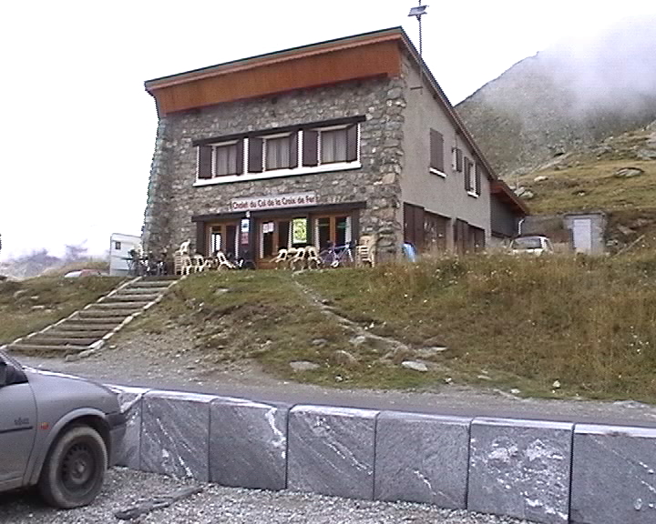
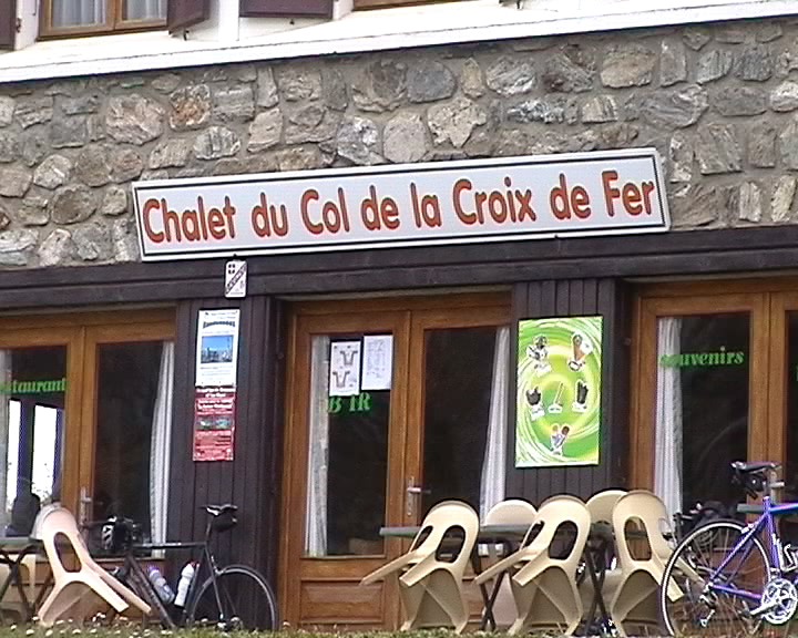
Some pictures...
 |
 |
 |