Bonette Pass (2715m)


en français
1 climb

Northen side
France Jausiers (1213m) Col de la Bonette (2715m)
22,3 km
1502m
6,7 %
Cime de la Bonette (2802m)
23,4 km
1589m
6,8 %

2004
1h47mn
12,5 km/h
1h 53mn 30s
12,4 km/h

Bonette Pass

The top of the Col de la Bonette (2715m) viewed from the Cime de la Bonette (2860m).

Start (northern side): Jausiers (1213m).
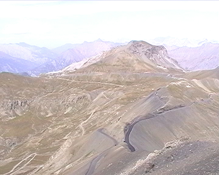
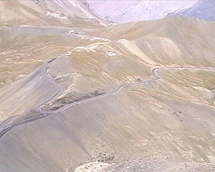
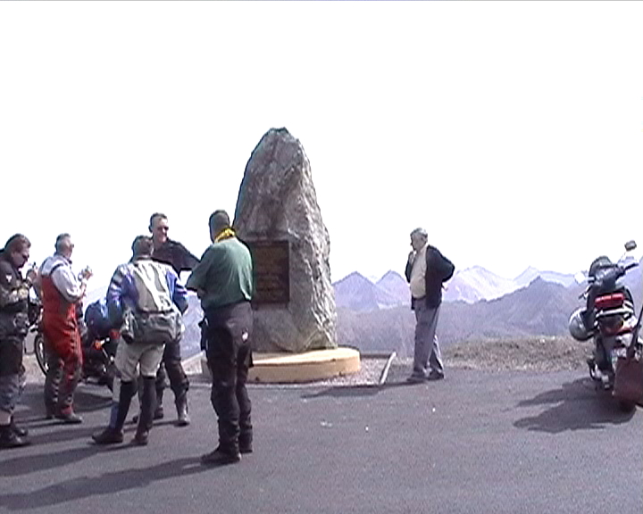
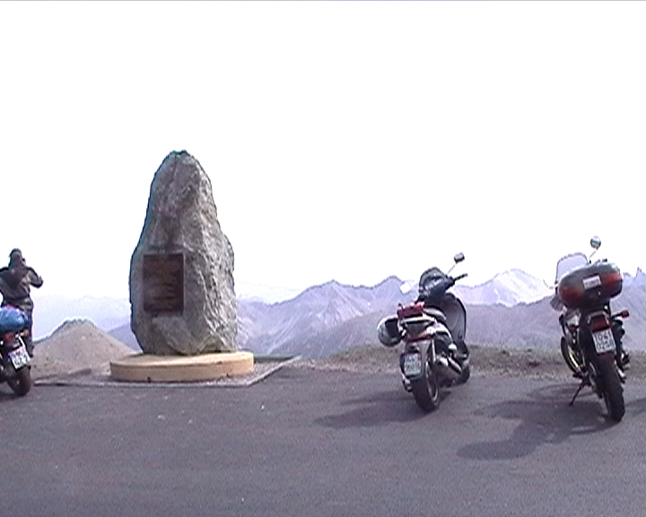
Road:

It is not so easy to know precisely the name of each (there are a lot !) pass around the mountain Cime de la Bonette (2860m). The highest paved road in France (and not in Europe, see link below) leads to the "Cime de la Bonette" (2802m), or more precisely to a monument where a small unpaved path reaches the top of the mountain "La Bonette". The real pass is at an altitude of 2715m.
The climb begins quite easily. Then, from La Chalanette and Le Rochas, the slope becomes more difficult, but nothing impossible. The hardness of this climb comes from the fact that is is terribly long, with a slope hard enough to finally kill you. The road passes along a small lake where the slope is around 5%, before a portion at 8-9% reaching the Casernes de Restefond, an old military building. The road continues, and near the "Faux Col de Restefond", the slope gets really easier up to the top of the pass. Then, the last piece of road to the monument of the Cime de la Bonette is much more difficult with a 10% slope for nearly 1km.


Profile (north):    Click here
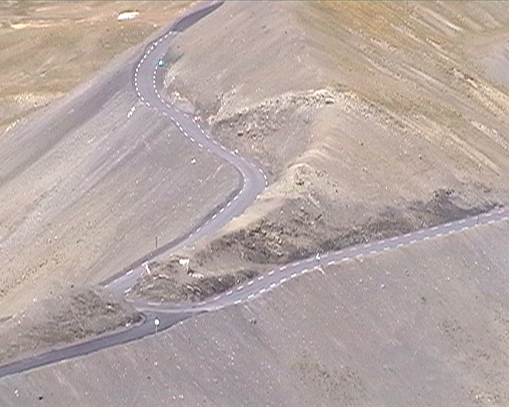
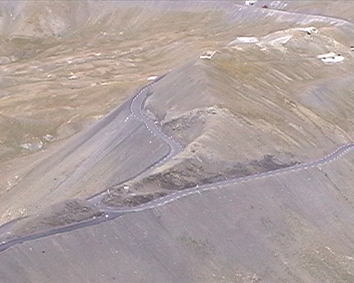
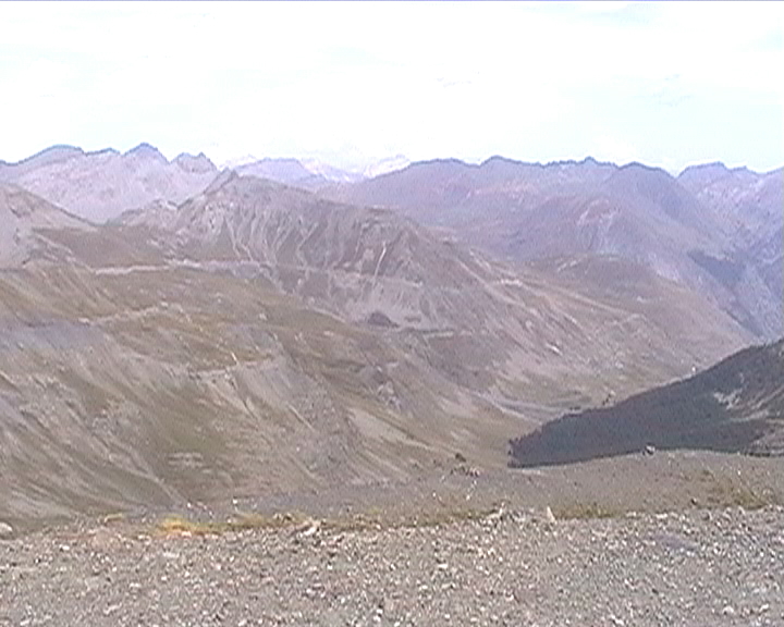

Some pictures...

Col de la Bonette
Col de la Bonette
Col de la Bonette
The pass
Southern side
Northern side
Col de la Bonette
Col de la Bonette
Col de la Bonette
Le col
The monument
The monument
More infos:


Back to Alps Map
Back to Cycling Home